
Current Conditions
Weather can change rapidly. Be prepared.
Reports from Baxter State Park
Daily Conditions Phone Line: 207-723-9500
and website: https://baxterstatepark.org/conditions-report/
Since park conditions often change day-to-day, the Park has dedicated a phone line for a brief park conditions recording, updated each day around 8:15 am. They also post this information on their website at the same time. Do you want to know what trails are open? If you can safely cross the Wassataquiok stream on the way to Russell Pond after a heavy rain? Know in advance of closed sections of the Tote or other Park roads? While it won't tell you what is in bloom, this information helps you with general planning and being prepared for the ever-changing conditions in the Park.
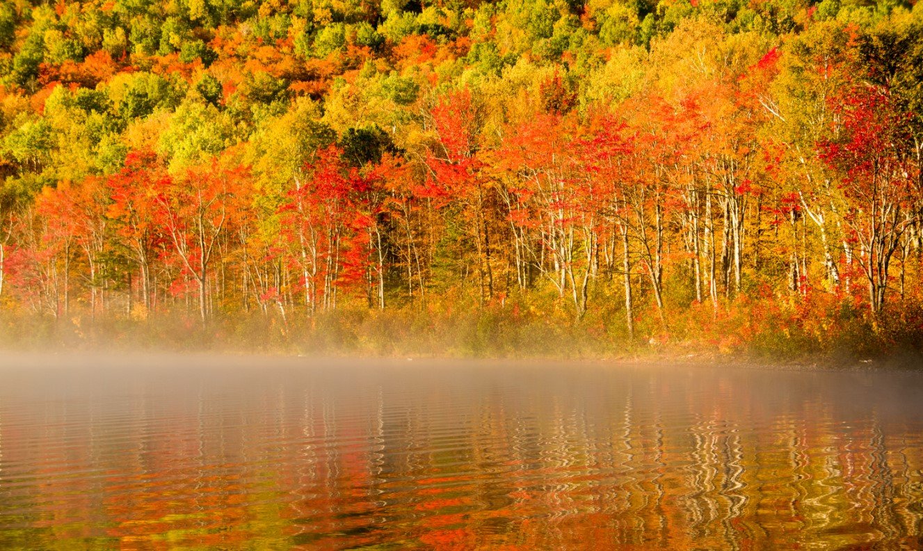
Expect that the Weather will Change
Variability is the defining characteristic of weather in Baxter State Park.
A warm, summery day at lower elevations can offer near-winter conditions on the summit of Katahdin. Snowfall can occur during any month of the year, and temperatures often fluctuate rapidly. Summer thunderstorms can appear with little to no warning. Wind, sun, heat, hail, and snow - it's all part of the wilderness experience. Planning and preparation for all possible weather conditions are essential to a safe trip.
No weather forecast is perfect, and no forecast can take the place of good judgment. If conditions are deteriorating or exceeded what you can safely handle with your equipment and experience level, turn around and go back down. Remember that your destination isn't the summit; it's a safe return to the trailhead at the end of the day.
Weather Forecasts
The National Weather Service provides a range of forecasts that may be useful for Park visitors. These include general forecasts for lower elevations and a specialized recreation forecast for the summit of Katahdin. The general forecast is useful across the lower elevations of Baxter State Park, although Katahdin can create major differences from one side of the Park to the other. This forecast is based on an elevation of 1,220 feet, which is similar to the elevation of many roadside campgrounds in the Park.
Check the general forecast for Baxter State Park >
Katahdin Summit Forecast
It is essential to check the weather forecast for the Katahdin summit before you head to the higher elevations of the Park. Doing so could save your life. Temperatures are often much lower, winds usually much higher, precipitation more intense, and conditions more severe overall with increasing elevation. Check the forecast carefully and bring gear for the worst conditions you might encounter. It's also worth checking the Katahdin forecast before a climb of Traveler, North Brother, South Brother, Mt Coe, OJI, Doubletop, and many of the Park's other high summits.
Check the Katahdin Summit forecast >
Weather Forecasts While in Baxter State Park
Once in Baxter State Park, daily weather forecasts are available in several locations, including Togue Pond Gatehouse, the Visitor Center, and all Katahdin trailhead campgrounds, on the Ranger station porch or directly at the trailhead. The Chimney Pond Ranger will also provide weather observations first thing in the morning. Rangers use forecasts from the NWS Caribou Office, and some like to infuse them with art and humor. Baxter State Park no longer uses a Class system to rate hiking conditions. Rangers may strongly advise visitors not to climb, but the Park does not close trails above the treeline during bad weather. Hikers are responsible for their own safety in Baxter's wilderness.